Inventa · Belgrade
Open Source IT solutions
Software applications, databases and GIS/Web-GIS systems, web design, EU projects.
Web-GIS
Desktop GIS
Databases
Tailored solutions
Inventa · Belgrade
Software applications, databases and GIS/Web-GIS systems, web design, EU projects.
About us
Inventa develops and implements Open Source solutions for local government and companies: from Web-GIS portals and databases to specialised systems for property and tax.
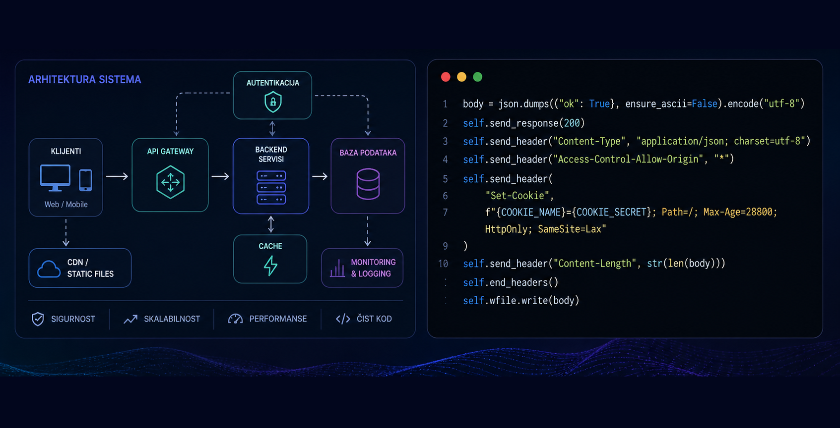
We combine QGIS, PostgreSQL/PostGIS, GeoServer, OpenLayers, web maps and PHP/Python.
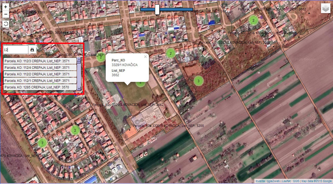
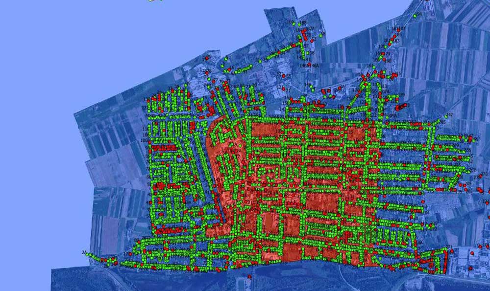
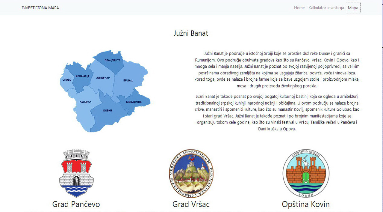
PostgreSQL/PostGIS, OpenLayers, PHP or Python: we choose a stack that is stable, maintainable and extensible. No vendor lock-in.
What we do
We develop GIS and Web-GIS solutions, software for property and tax management, and databases for complex information. We work from data preparation and processing through application development and integration into existing systems. We also build web platforms that are clear, functional and tailored to users’ specific needs. In data processing we use automation where it makes sense, but every deliverable is reviewed by experts before use.
More detail: GIS, databases, software and web on the Services page.
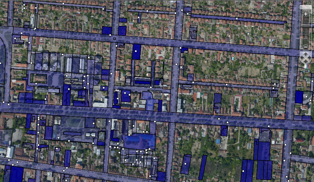
Maps in the browser: layer overview, data entry and basic analysis.
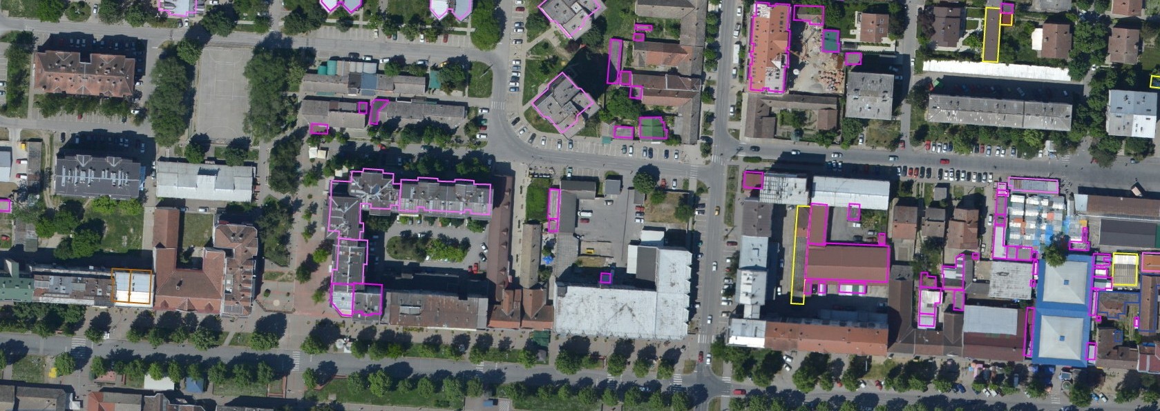
Records and display of property, reports, and links to the map and parcel.
Tax item records, parcels and buildings, reports and portal.
Public websites and portals: HTML, CSS, WordPress, integration with maps and services. Examples are under the Web design filter in the portfolio.
GIS analyses, layers and services tailored to the institution. References are under the GIS filter in the portfolio (e.g. City of Belgrade, Vlasotince).
EU project visibility: digital content, social media, and presenting activities and results, with clear communication of complex topics to different audiences.
Approach
We don’t sell one-size-fits-all packages. The system is shaped by how your organisation actually works.
Since 2006 we have worked with maps, layers and services for local government and businesses.
The operating system is powered by customized AI agents & skills for planning, coding, and testing.
PostgreSQL, PostGIS, QGIS, OpenLayers. Stable, well documented, and no vendor lock-in.
Examples
Examples of systems we have built for working with data, maps and processes, and an EU project in the portfolio.
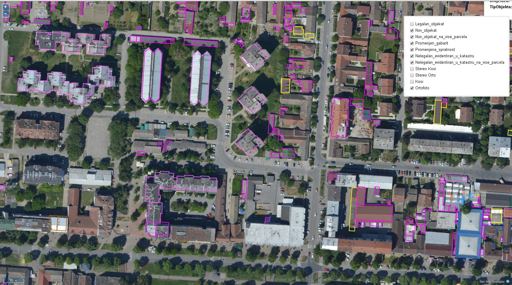
Centralised registry with map view and mobile field work.
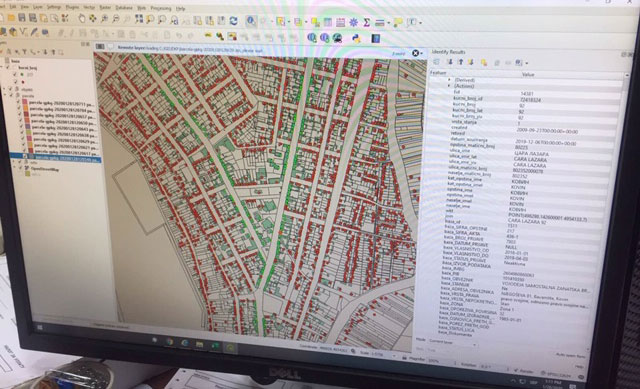
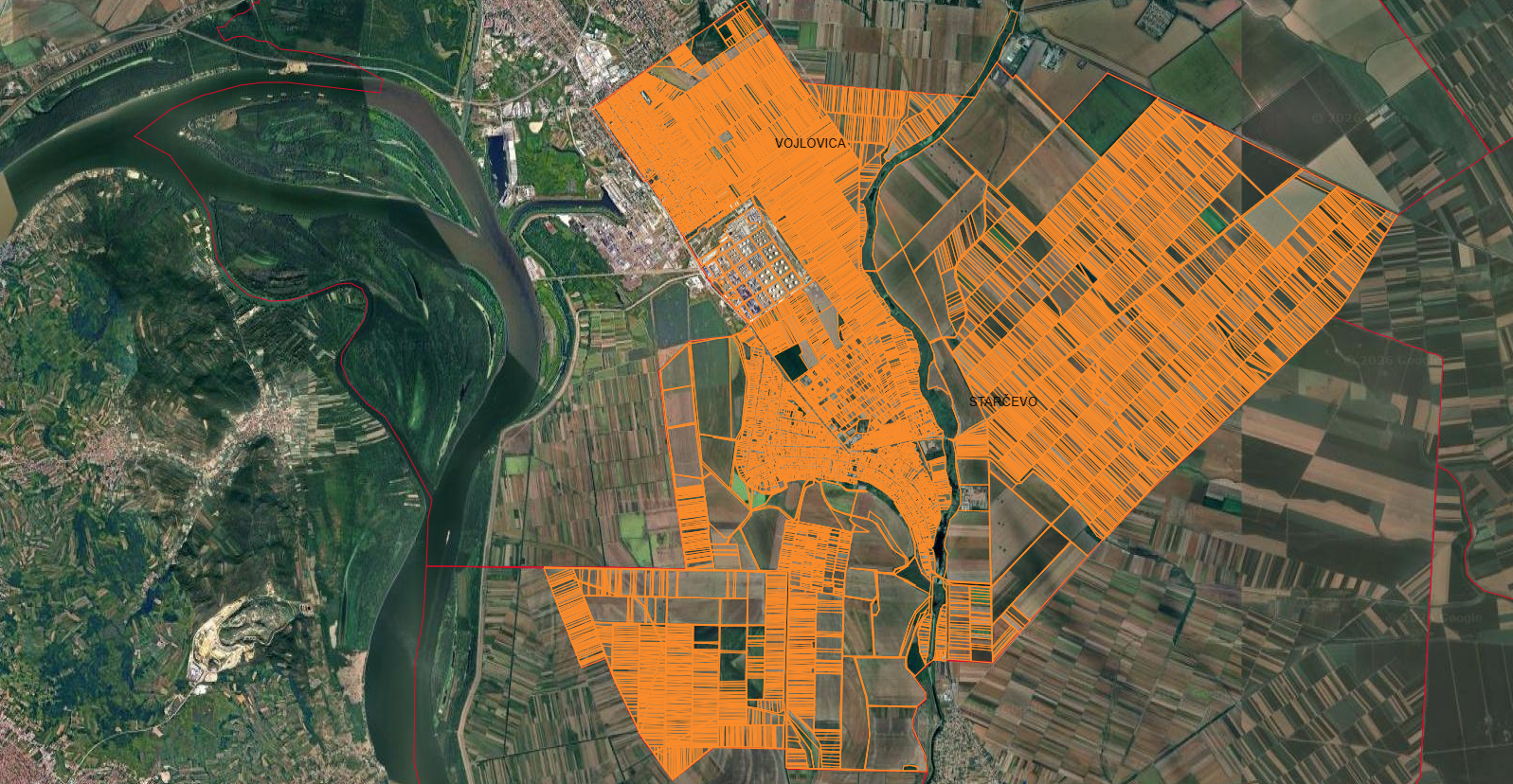
Parcels, buildings and GIS layer linkage for operations.
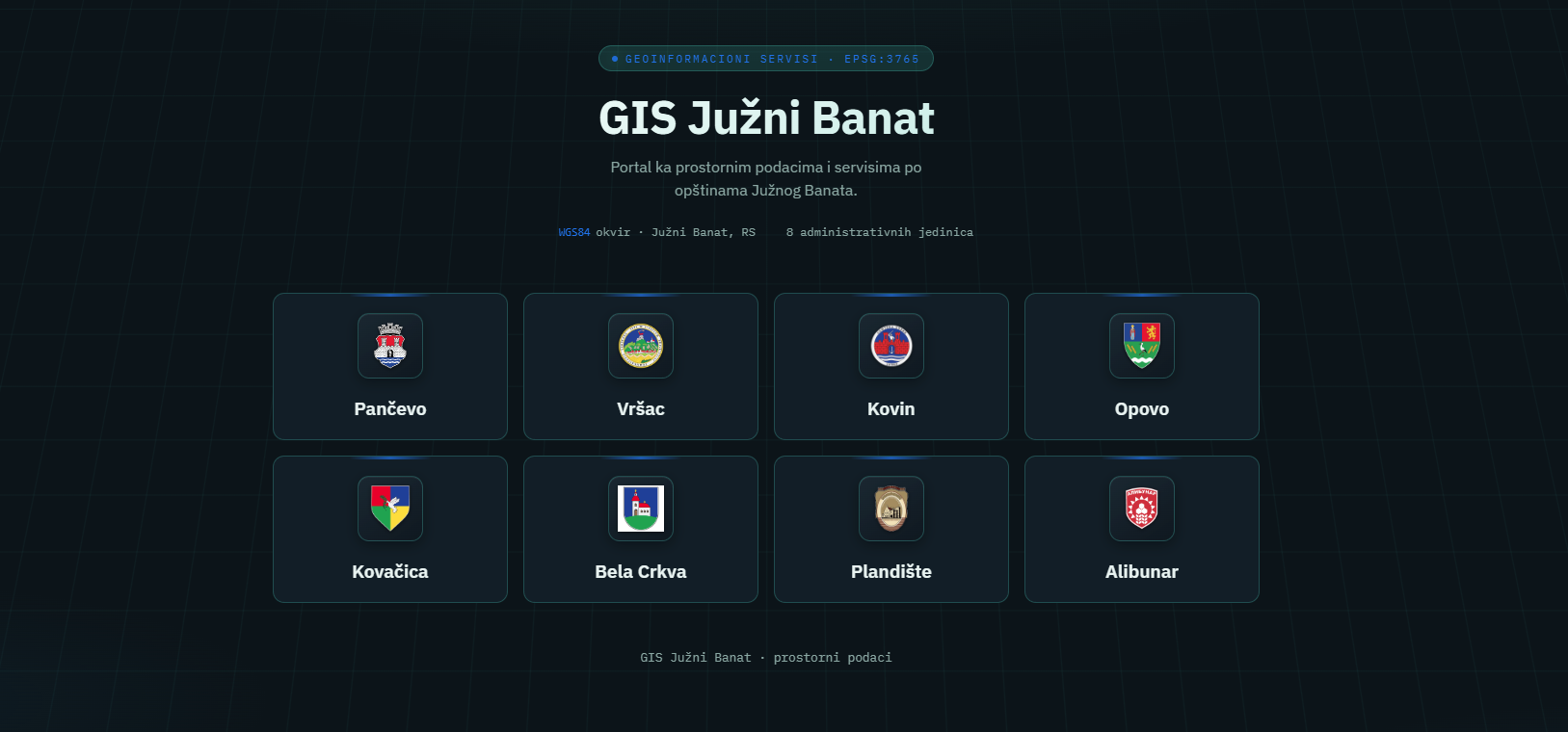
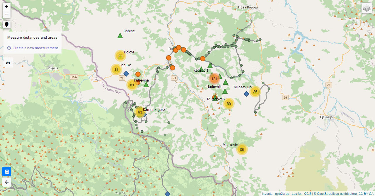
Portal to spatial data and services across South Banat municipalities.
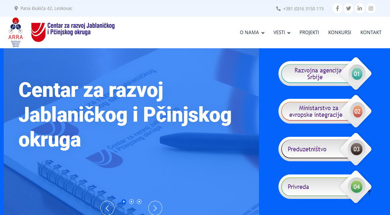
A modern public website aligned with the institution’s brand.
Brief entry in the list; full description in the portfolio.
Technologies
Tools we most often keep in production.
Get in touch